 The best equipment for pros and enthusiasts alike
 Professions




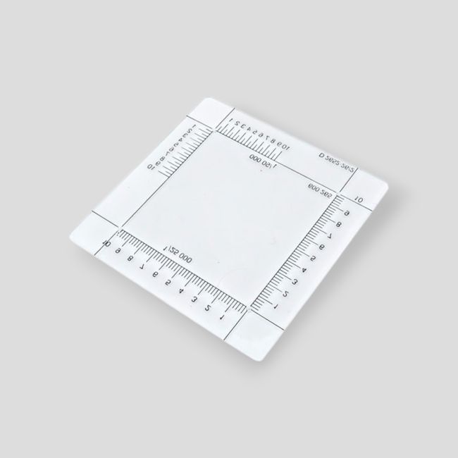
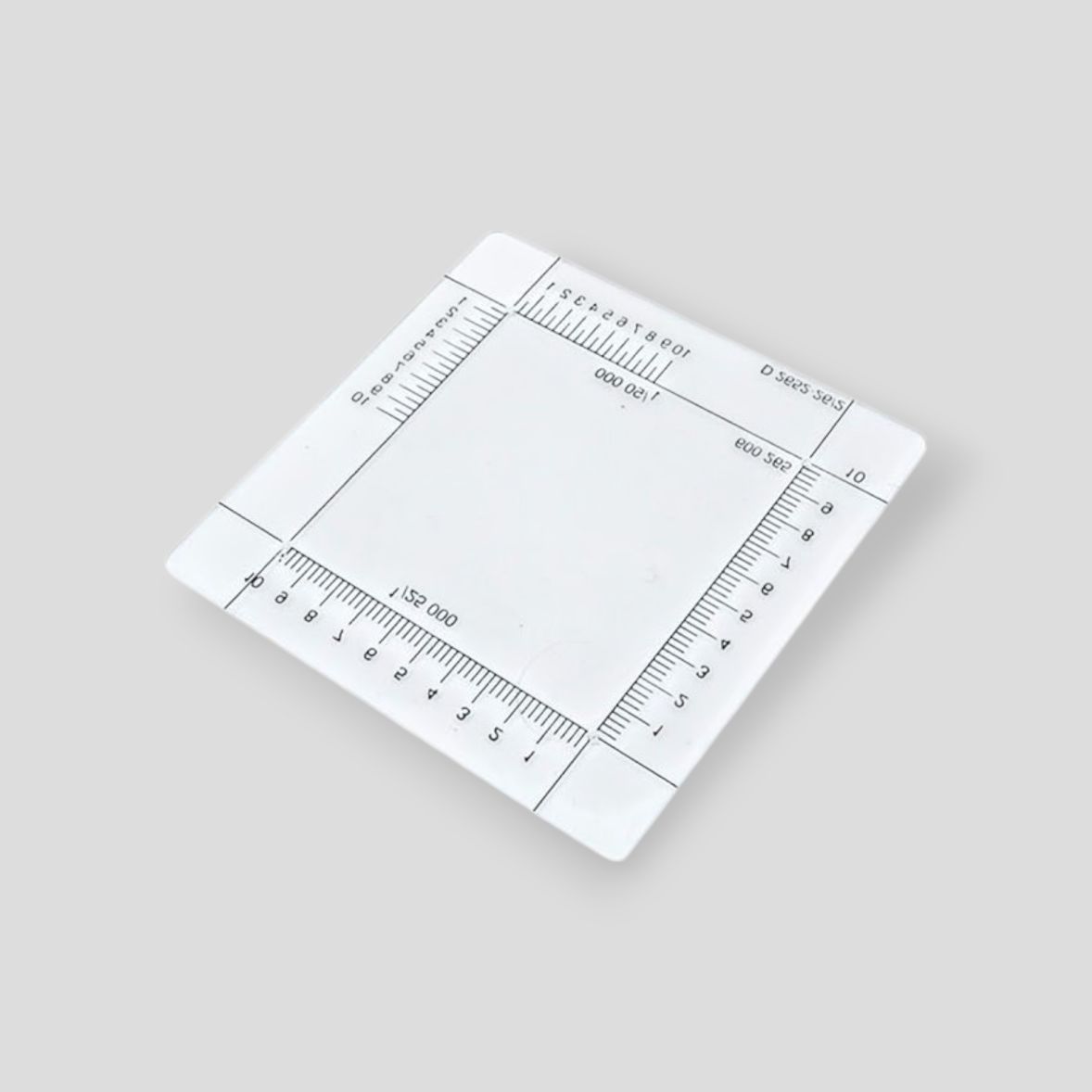

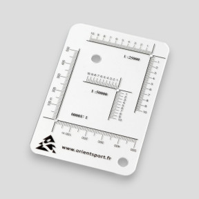
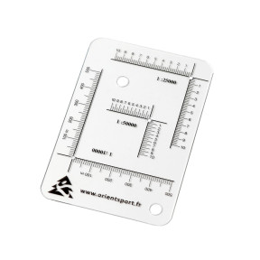
Point plotting square – Ares
Simple and effective tool for reading or plotting coordinates on topographic maps, essential for hiking, military or outdoor use. Its transparency and graduations facilitate quick and accurate positioning.
Highly resistant 50×50 mm plexiglass square
Made of rigid plexiglass, this square is durable; it is scratch-resistant and does not yellow, ensuring long-term use.
Precise graduations 1:25,000 and 1:50,000
Equipped with two reading scales, it allows use adapted to the main topographic map scales, without prior conversion.
Instant reading and plotting of coordinates
Allows immediate identification of a point's coordinates on the map or placement of a GPS point, for time-efficient navigation.
Compatible with GPS UTM and Lambert
Specifically designed to work with the most commonly used GPS positioning systems, it simplifies the correspondence between digital data and the terrain.
Technical specifications
| Feature | Detail |
|---|---|
| Material | Transparent, rigid, scratch-resistant plexiglass |
| Dimensions | 50 × 50 mm |
| Graduations | Scales 1:25,000 and 1:50,000 |
| Weight | Approximately 5 g depending on the model |
| Compatibility | GPS UTM and Lambert systems |
Be the first to ask a question about this product!

There are no images for this product yet
Related products

€7.90 Tax included
€6.58 Excl. tax


