


-
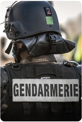
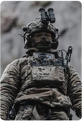
 Professions
-
-
-
-
-
-
-
-
All Tops
![All Tops]()
-
-
-
All Bottoms
![All Bottoms]()
-
-
-
All Footwear
![All Footwear]()
-
-
-
All Bags
![All Bags]()
-
-
-
All Accessories
![All Accessories]()
-
-
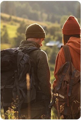
For a first solo hike as well as for a bushcraft outing with friends, the choice of navigation technique can determine the success or failure of your expedition. Nowadays, everyone has a GPS in their pocket. However, it is always useful to learn how to use a topographic map and compass. Indeed, it's an excellent way to disconnect and fully enjoy a moment in nature!
Table of contents:
Navigating while hiking using GPS applications on smartphone
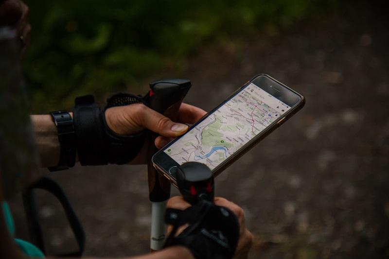
Nowadays, with a little preparation and a good smartphone, it's impossible to get lost while hiking (which also loses a bit of its charm).
Since we're nice at vetsecurite.com, here's a list of our favorite applications for navigation while hiking:
-
Komoot
-
Visorando
-
Alltrails
-
MapsMe
While this method is ideal for beginners or people who have no sense of direction, it remains risky to rely solely on technology. Indeed, for long hikes and multi-day treks, the GPS signal can sometimes be lacking. And if your hike includes several stages without returning to civilization, it becomes essential to plan for a charging system. The simplest and most economical solution is to carry a few external batteries fully charged. Yes, I speak from experience and I insist, check that they are charged before leaving... If you plan to undertake several long expeditions, a solar charger constitutes an excellent investment that will quickly pay for itself.
Whatever your choice, remember to protect your electronic equipment from rain by storing it in a waterproof bag.
Navigation in hiking with a map and compass
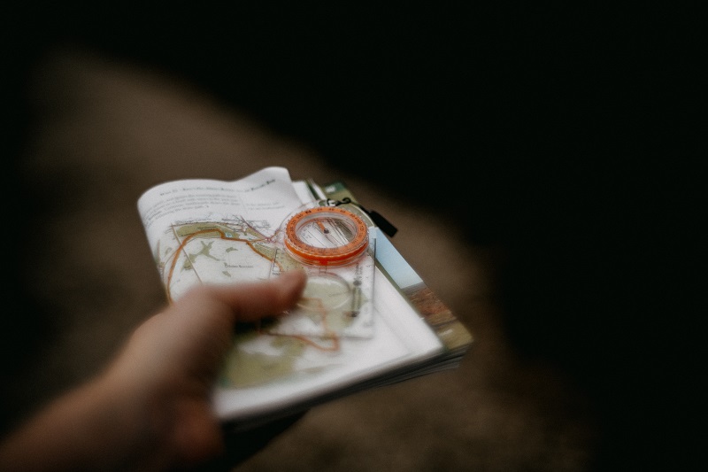
Admittedly, I'll grant you, navigating while hiking with a paper map and compass is a bit "old school" in the era of ultra-connectivity and cutting-edge technologies. And yet, I assure you that it's not just Bernard, the grumpy 75-year-old Auvergnat, who uses topographic maps and a compass to find his way in the mountains or the wilderness. Besides, between us, Bernard doesn't really need maps since he knows all the hiking trails like the back of his hand. So why burden yourself with a map that weighs at least 100g (yes, that much) and a compass in your bag already well filled with freeze-dried meals, apple chips, jerky and muesli? For the simple and good reason that a compass is an ultra-light accessory that could save your life. And just as we strongly recommend carrying a survival blanket or a first aid kit for each of your bivouacs, the compass is indispensable. It's non-negotiable!
How to use a compass while hiking?
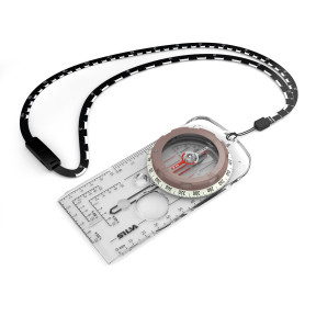
Having a compass is good. Knowing how to use it is better. A baseplate compass is minimally composed of a magnetic needle with a red tip that permanently indicates magnetic north, a 360° graduated rotating dial, and a sight line also called a direction arrow.
The first thing to do is to orient your map relative to north. Generally, on a map, north is represented by vertical blue or black lines. If this is not the case, north is located at the top of the map in the direction of the writing. To know where north is located, place your topographic map (ideally at 1:25,000 scale) flat on the ground. As specified in the paragraph above, on a compass, north is indicated by the red arrow. The first reflex to have in navigation is to align the north of the compass with the north of the map. To do this, rotate the map as much as necessary. The second reflex to work on is to remember to turn your map at the same time as your body when changing direction. At each intersection, you must realign the north of the map with the north of the compass.
Warning: be sure to keep your hiking compass away from any magnetic source that could disturb the needle position (power line, metal object, phone, ...).
The IGN institute offers a video tutorial that allows you to learn how to easily find your bearings while hiking using a compass and map:
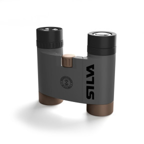
Which compass to choose?
In our online store vetsecurite.com, we offer a complete range of navigation and topography equipment. There's something for everyone, for beginners as well as outdoor enthusiasts! And in the wonderful world of topography, the Silva brand is essential.
We particularly recommend the Ranger 360 Global compass from the Silva brand. This compass is equipped with 1/25,000th and 1/50,000th scales. Waterproof, it has an integrated magnifying glass and phosphorescent markers. This may seem useless to you, but you'll thank me the day when, from observing wild plants on the path, you get caught by twilight.
So, ready to try the adventure?
Related products
Related articles


5 tips for choosing the right sleeping bag
Read the article


-
![Over 200 brands At the best price]() Over 200 brands At the best price
Over 200 brands At the best price -
![Secure payment In 3 or 4 interest-free installments]() Secure payment In 3 or 4 interest-free installments
Secure payment In 3 or 4 interest-free installments -
![Delivery across Europe As soon as possible]() Delivery across Europe As soon as possible
Delivery across Europe As soon as possible -
![Customer service Monday to Friday]() Customer service Monday to Friday
Customer service Monday to Friday